Updated: 4/22/2012
Set date, updated weather conditions, fuel cost since gas is now $4/gal. 4/22/12 - Posted mapquest route, removed Indi pass on day 3 as it's not yet opened.
The CSC Secret Squirrels presents: The Devil's Spine!
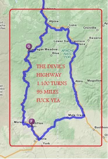
U.S. Route 491 / 191, formally known as U.S. 666 also known as The Devil's Spine, is a section of highway that straddles both New Mexico and Arizona, containing over 1,100 corners in a 95 mile loop beginning and ending in Alpine, AZ. The Devil's spine is arguably one of the most technically challenging roads in North America.
The Spine itself is just 6% of the total route. The entire route is designed to take you through many of the absolutely best motorcycle roads Colorado, New Mexico and Arizona have to offer.
Full Disclosure. This is a difficult ride and not for the beginner rider. This trip will test your abilities. Plan on 3 days of riding 12 hours (possibly more) and covering in excess of 500 miles per day.
Dates April 27-29, 2012. Currently (as of 4/22) the weather forecast is mixed. We're likely to see some rain in Colorado but overall sunny and warm conditions in New Mexico/AZ. Forecasted highs for Clifton, AZ (the hottest part) are 90+ degrees. In Colorado we'll probably see tempts in the low 50s. The backup date is the weekend of May 4th through 6th.
The towns I'm checking on weather are:
Gunnison, CO
Montrose, CO
Ridgeway, CO
Telluride, CO
Cortez, CO
Gallup, NM
Alpine, AZ
Clifton, AZ
Grants, NM
Durango, Co
Ouray, CO
Make sure that you have room in your bags to fit any layers you'll strip off.
Pro Tip #1 Pack Advil (ibuprofen). This loosens your joints, prevents cramps and overall makes your ride much more comfortable. I take 800mg (4 pills) before every ride.
Pro Tip #2 Make sure your tires have plenty of tread life left and can handle up to 1600 miles. Running out of tread means ending your trip early. Trust me on this one.
__________________________________________________ _
Difficulty level: Intermediate.
The spine itself is quite challenging but can be safely traversed by riding your own ride. I can't emphasize this enough. Crashing is one thing, crashing 800 miles from home is another.
The other 94% of the route is a mixture of typical Colorado mountain sweepers and flat south western desert. If you haven't been through the Navajo Nation before, then you're in for something... different. More on that in a second.
The real challenge comes from endurance. We have a lot of miles to cover and only 3 days to do it.
Total mileage: - 1,600 give or take.
Complete route:
http://mapq.st/yPCDGJ
Day 1: - Colorado Springs > Montrose > Gallup
http://mapq.st/xaCNos
Day 2: Gallup > Alpine > Clifton > Reserve > Grants
http://mapq.st/xh4J3n
Breakfast in Gallup, Lunch in Alpine (we'll hit Alpine for a second time after completing the spine) - then ride to Grants, NM for the night and dinner.
Day 3: Grants > Durango > Montrose > Colorado Springs
http://mapq.st/xcKPM1
Lunch in Durango or Silverton or Ouray. It's 260 miles from Grants to Ouray and 237 from Grants to Silverton. Durango is 190 miles from Grants.
Sunrise @ 6:09am
Sunset @ 7:48pm
Day 1: Buena Vista > Montrose > Cortez > Gallup, NM - 500 miles.
7:00 AM meet at Jan's Restaurant in Buena Vista for breakfast and a pre-ride briefing. Buena Vista is roughly 100 miles (2 hours) from both Denver and Colorado Springs.
Departure at 8:00 AM.
Jan's Restaurant
304 US Highway 24 S Buena Vista, CO 81211
(719) 395-6940
As always I'll provide detailed maps, emergency contact info and words of encouragement.
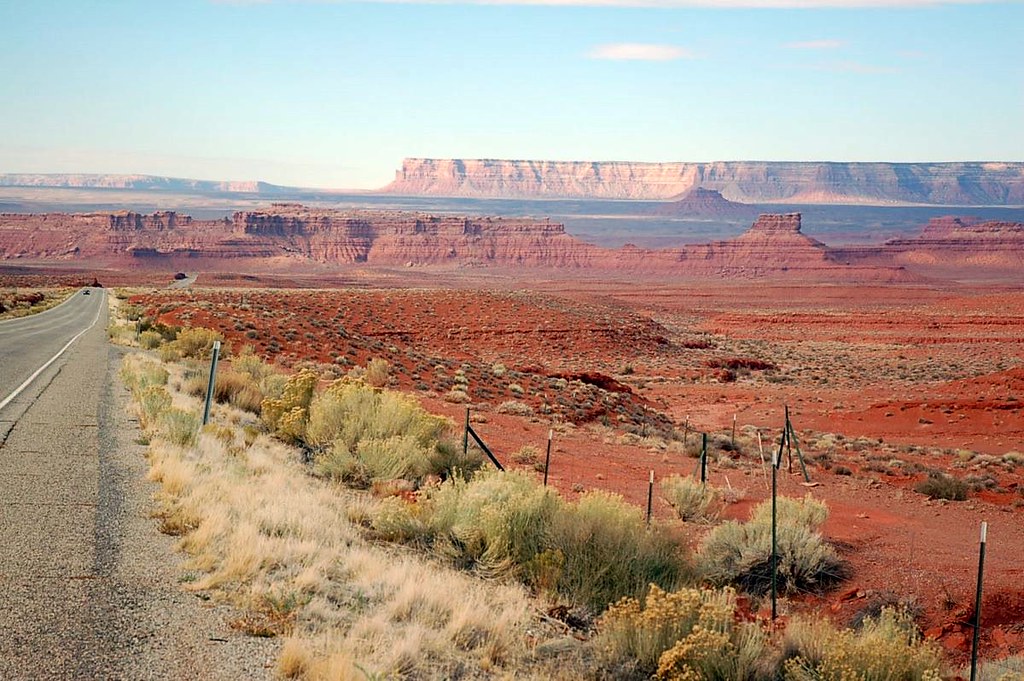
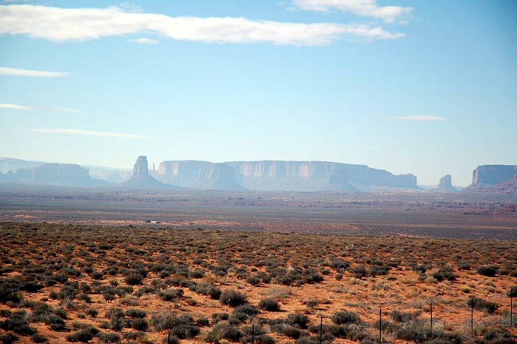
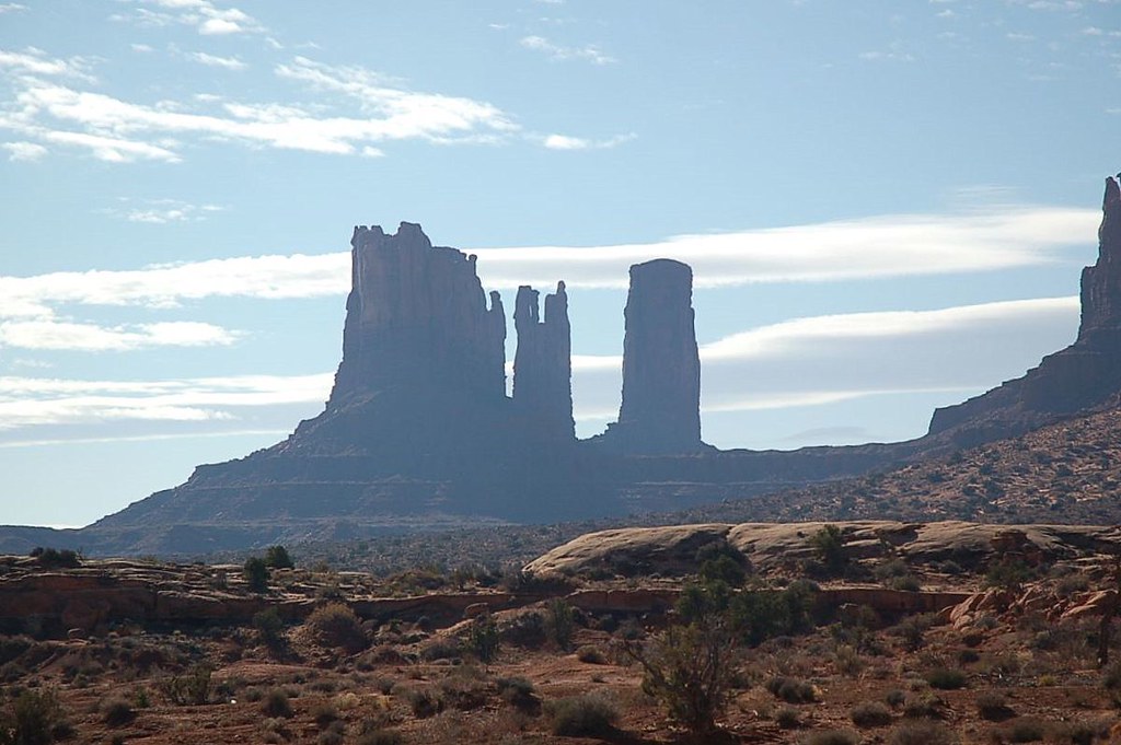
As we get closer to Gallup we'll be going to the Navajo Nation. If you've never seen their mountains, well... they're a little different then what we have in Colorado. Definitely cool. You'll see this by the end of day 1.
Day 2. Ride The Spine!
Gallup, NM> Alpine, AZ > Clifton, AZ > Alpine, AZ > Grants, NM
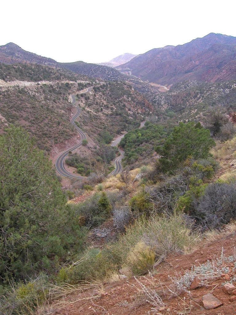
The Spine is basically 95 miles of this.
Bring your A game! We'll grab breakfast and then it's 150 miles to the Alpine, AZ and the start of real fun. The route begins and ends in Alpine, AZ. Route goes clock-wise.
Immediately following the Spine we'll stop somewhere for lunch and collectively decide where to go. The two primary options are Grants, NM or Socorro, NM.
What's the difference you ask? Grants is north and puts us through Durango, The Million Dollar Highway, Hwy 50's triple digit sweepers and if time allows, The Black Canyon and Independence Pass.
Socorro takes us through Las Alamos, Taos, The Enchanted Circle and Hwy 12 to La Veta, CO. This route also involved significant portions on I-25 so it's overall quicker. Both routes are within a few miles of total distance.
We'll play it by ear after the Spine.
Day 3. The long way home. Approximately 500 miles
500-650 miles depending on if we do The Black Canyon or not. If you haven't been to The Black Canyon on a motorcycle then you're in for a treat. There is a good reason why this is my favorite day ride.
Assuming we take the Million Dollar Highway / Black Canyon route, we'll part ways after Independence Pass at Hwy 24. Go left and you hit Leadville and Denver. Go right and you hit Buena Vista and Colorado Springs. It's 100 miles to either destination from this point.
Estimated Cost - $250-300
1700 miles / 45mpg = 37.8/gal of fuel @ $4.00/gal = $151 in fuel cost
Lodging - 2 per room @ $30-35 each per night, 2 nights = $60-70
Food - $25/day x 3 days = $75




 Reply With Quote


 and envy the flexibly you must have at work
 . I love 3 day road trips, unfortunately work doesn't understand that more days off means more productivity during days on. Ill get some vacation time saved up and be right beside you during your road trips.


 Just giving you a hard time. But, this is starting to sound like a really good ride.
 Thanks for posting the route.


